Monsoon Marches North: IMD Flags Heavy Rain for Gujarat to Punjab
The southwest monsoon is set to push into Gujarat, Punjab, Haryana and Rajasthan, with the IMD warning of extremely heavy rainfall over Konkan and Gujarat between July 4 and 7.
Commentary & Analysis ·
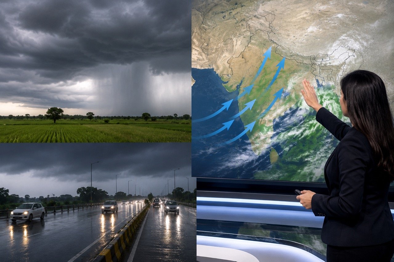
The southwest monsoon's push north and west has become the country's biggest weather story, with the India Meteorological Department forecasting further advance into parts of Gujarat, Punjab, Haryana and Rajasthan over the coming days. NDTV reported that extremely heavy rainfall is likely over the Konkan and Gujarat region from July 4 to 7, with additional warnings issued for Madhya Maharashtra, Saurashtra, Odisha and West Madhya Pradesh. Taken together, these advisories describe a monsoon that is both fulfilling its seasonal promise and testing the systems built to cope with it.
Why the monsoon's advance matters
The monsoon is India's most consequential seasonal system, shaping everything from agriculture and reservoir levels to urban flooding risk, power demand and food prices. Its continued advance is welcome news for regions still waiting for sowing rains — but the same system's heavy spells can trigger landslides, waterlogging and widespread transport disruption. Few other weather events carry this dual character so starkly: a single rain-bearing system can simultaneously be a lifeline for a drought-anxious farmer and a hazard for a city engineer watching stormwater drains fill faster than they can be cleared. That duality is precisely why the IMD's staged warnings, moving from the Konkan and Gujarat coast toward the northern plains, deserve close and continuous attention rather than a one-off glance at a weather bulletin.
For a country where a large share of the workforce still depends directly or indirectly on agriculture, the timing and distribution of monsoon rainfall carries economic weight well beyond the affected states. Reservoir levels built up during a healthy monsoon feed irrigation and hydropower through the dry months that follow, while power demand patterns shift as rain cools cities and reduces air-conditioning load, even as it strains drainage infrastructure elsewhere. Food prices, too, are sensitive to how sowing-season rainfall lands, since crops such as pulses, oilseeds and cereals sown in this window will determine supply conditions later in the year. None of this is abstract for households already managing tight budgets, which is part of why monsoon coverage tends to attract such intense public interest each July.
One monsoon, many outcomes
The key to reading this forecast is regional variation. Monsoon progress does not mean uniform rainfall: some districts will receive beneficial, well-spaced showers while others face extreme downpours compressed into short windows. That difference determines whether the rain fills reservoirs or floods streets. A steady, moderate spell over a rain-fed agricultural belt can be transformative for the season's crop, replenishing soil moisture without overwhelming local drainage. The same volume of rain delivered in a matter of hours over a densely built coastal city, by contrast, can overwhelm stormwater systems that were never designed for such intensity, turning a meteorological blessing into a civic emergency.
This is why the specific geography named in the IMD's warnings matters as much as the headline figures. The Konkan coast and Gujarat, flagged for extremely heavy rainfall between July 4 and 7, sit in a zone where dense urban settlement meets a narrow coastal plain, a combination that has historically produced dramatic flooding even from rainfall totals that would be unremarkable elsewhere. Madhya Maharashtra, Saurashtra, Odisha and West Madhya Pradesh, also under warning, span a mix of agricultural interior and coastal exposure, meaning the practical consequences of the same weather system will look quite different from one warned district to the next.
Who is watching, and why
The forecast carries practical stakes for distinct groups. Farmers are watching for sowing decisions, city administrations for drainage and emergency planning, and travellers for road and rail disruption that can ripple across state lines during heavy spells. For farmers in Gujarat, Rajasthan, Haryana and Punjab, the advance of the monsoon into their region is the signal that determines when and what to sow, a decision that cannot easily be reversed once seed is in the ground. Arriving too early into a false start can mean losses if rain then pauses; arriving late risks a shortened growing window. The IMD's advance forecasts, imperfect as any weather prediction must be, are the best tool available to make that call with some confidence.
City administrations face a different calculus. Drainage networks in Indian cities are frequently decades old and were sized for rainfall patterns that no longer hold, which means the warning window between an IMD alert and the arrival of extremely heavy rain is often the only real opportunity to clear choked drains, position pumps and brief emergency response teams. Travellers, meanwhile, experience the monsoon less as a slow-moving seasonal event and more as a series of sudden, localised disruptions: a waterlogged underpass, a delayed train, a landslide-blocked highway in the hills. Because transport networks cross state lines, a heavy spell in one warned region can delay goods and passengers far beyond its immediate footprint, which is one reason monsoon disruption tends to have an economic reach disproportionate to the geographic area actually affected.
The gap between forecast and preparedness
What makes this particular stretch of the monsoon season noteworthy is not the rainfall itself but the test it poses to preparedness systems across several states simultaneously. Gujarat and the northern plains states named in the forecast do not all have the same institutional capacity to act on early warning. Some administrations have invested heavily in flood forecasting, drain-clearing drives and pre-positioned disaster response teams; others operate with thinner resources and less established protocols. The IMD's warning is, in effect, a uniform signal broadcast into a landscape of uneven response capacity, and the outcomes over the coming days will reflect that unevenness as much as they reflect the rainfall totals themselves.
There is also a communication dimension that is easy to overlook. A forecast is only as useful as its last mile: whether a farmer in a Saurashtra village or a resident of a low-lying Gujarat neighbourhood actually receives, understands and acts on the warning in time. Advisories that remain confined to television bulletins or official press releases without reaching affected communities through local languages and accessible channels lose much of their preventive value, regardless of how accurate the underlying meteorology is.
The NE Times View
India's monsoon coverage too often oscillates between celebration and catastrophe, when the real story is preparedness that moves with the rain belt. The IMD's warnings give administrations in Gujarat, Maharashtra and the northern plains a genuine head start — the question is whether drains are cleared, disaster teams pre-positioned and advisories communicated in time. Climate volatility is making heavy-rain events sharper and less predictable, so treating each IMD warning as an operational trigger, not just a weather brief, is the discipline the season now demands. A forecast that correctly identifies the Konkan, Gujarat, Madhya Maharashtra, Saurashtra, Odisha and West Madhya Pradesh as at-risk zones has done its job the moment it is issued; what happens next rests entirely with the administrations, farmers and citizens who receive it. Judging the monsoon season by rainfall totals alone misses the more instructive measure: how much of the potential damage from a given spell of extremely heavy rain was actually avoided because someone acted on a warning days in advance.
Key takeaways
- The IMD has forecast the monsoon's advance into Gujarat, Punjab, Haryana and Rajasthan, with extremely heavy rainfall likely over the Konkan and Gujarat region between July 4 and 7.
- Additional heavy-rain warnings cover Madhya Maharashtra, Saurashtra, Odisha and West Madhya Pradesh, reflecting significant regional variation in expected outcomes.
- The same monsoon system can deliver beneficial, sowing-friendly rain in some districts while causing flooding and landslides in others, depending on local geography and drainage capacity.
- Farmers, city administrations and travellers each face distinct practical stakes, from sowing timing to drain clearing to transport disruption across state lines.
- The real test of this forecast is preparedness: whether warnings translate into cleared drains, pre-positioned disaster teams and timely public advisories before the rain arrives.
You may also like to read
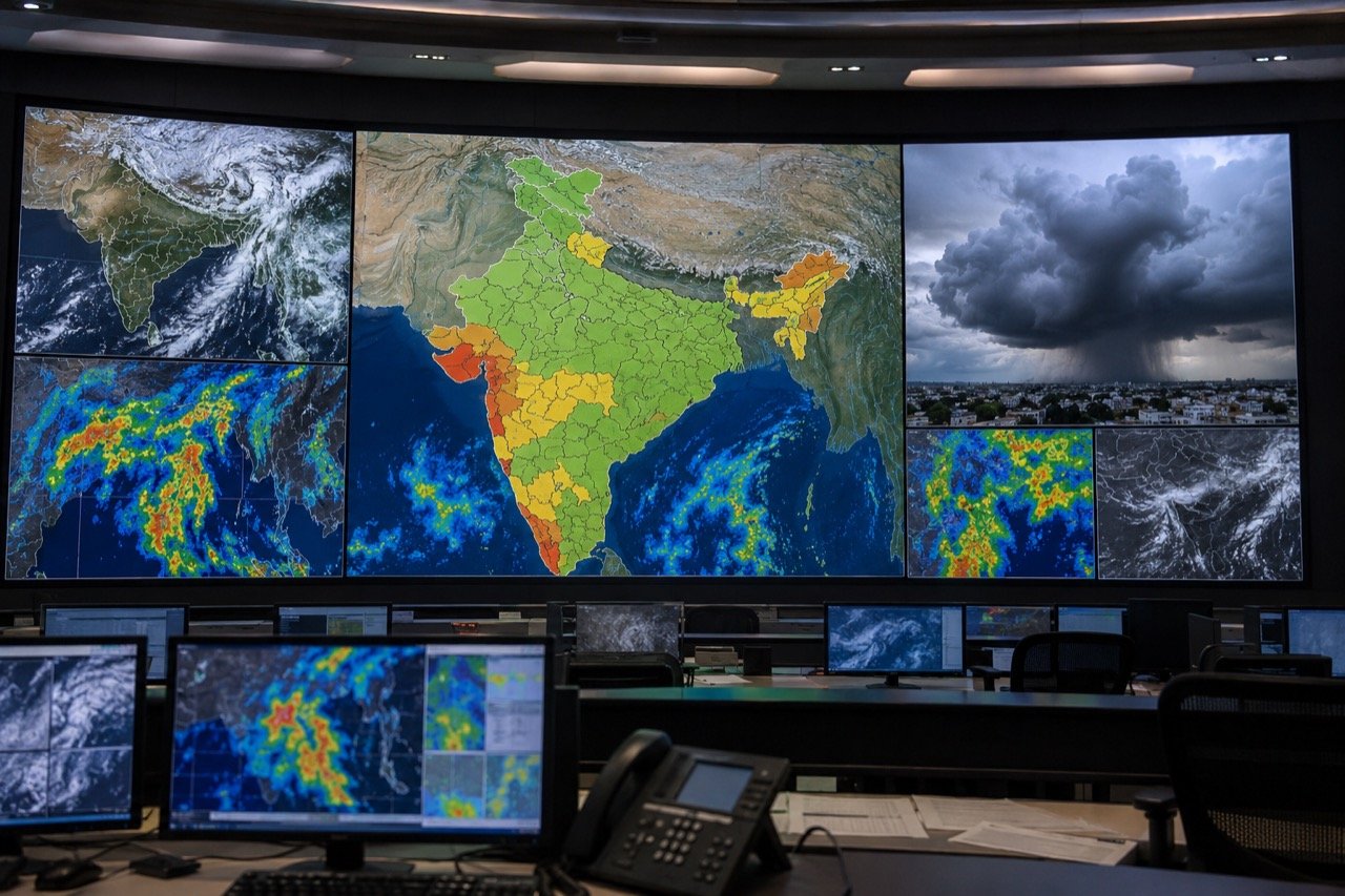
India Monsoon Alerts: Heavy Rain Warnings for Konkan, Gujarat, North
India's monsoon remains active with heavy rainfall alerts spanning Konkan, Gujarat, parts of Maharashtra and northern states, as forecasters warn of isolated extremely heavy spells that could disrupt transport and daily life.
IMD Forecast: Active Monsoon Over Central India Narrows Rain Deficit
The IMD expects the southwest monsoon to stay active over central India for four to five days, driven by a Bay of Bengal low-pressure system that has sharply narrowed the season's rainfall deficit.
Monsoon Revival Forecast Triggers Rain Alerts Across India as Heat Lingers
India's southwest monsoon is set to regain strength this week, bringing very heavy rain to the Northeast and Maharashtra even as central districts stay under heatwave warnings.
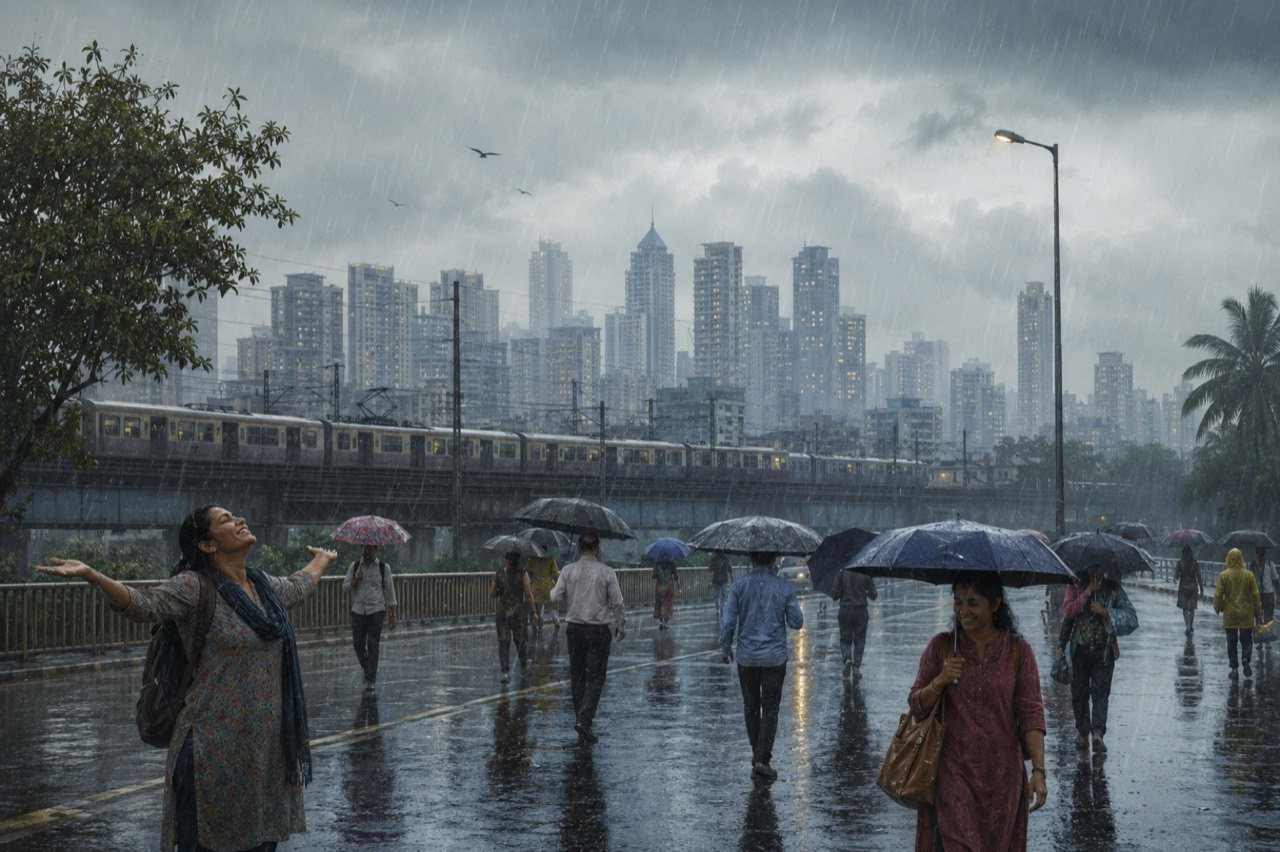
Mumbai Rain Brings Relief as Official Monsoon Onset Is Still Awaited
Heavy showers swept Mumbai on 22 June 2026, easing weeks of humid heat and lifting hopes of monsoon advance, even as forecasters held off on a formal onset declaration.
More from this section
More
AICTE Industry Fellowship 2026: Rs 1.5 Lakh Scheme Closes July 5
The AICTE Industry Fellowship Programme 2026, which places technical-education faculty inside leading companies on a Rs 1.5 lakh monthly stipend, reached its application deadline on July 5.
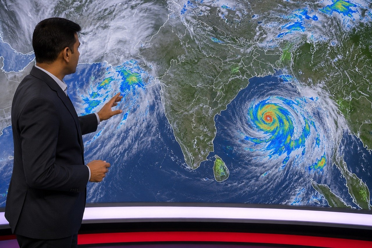
Bay of Bengal Low Pressure System Revives Monsoon Over Western India
A low-pressure system over the Bay of Bengal has pushed the monsoon back into an active phase, bringing steady heavy rain to Kerala, coastal Karnataka and Maharashtra, and putting Mumbai and Pune on preparedness watch.
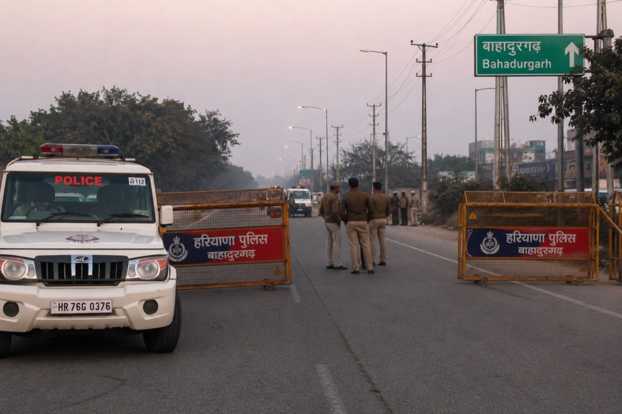
Bishnoi Gang Suspects Injured in Haryana Encounter as Police Tighten Net
A joint Haryana-Delhi Police operation in Bahadurgarh left two suspected Lawrence Bishnoi gang members injured, spotlighting the multi-state coordination now central to India's fight against organised crime networks.