India Monsoon Alerts: Heavy Rain Warnings for Konkan, Gujarat, North
India's monsoon remains active with heavy rainfall alerts spanning Konkan, Gujarat, parts of Maharashtra and northern states, as forecasters warn of isolated extremely heavy spells that could disrupt transport and daily life.
Commentary & Analysis ·
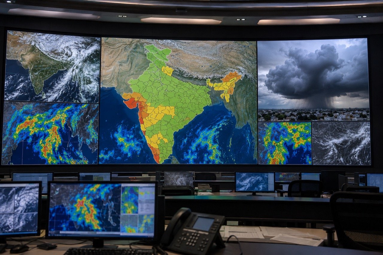
India's monsoon map remains firmly active, with weather updates pointing to heavy rainfall risks across several regions including Konkan, Gujarat, parts of Maharashtra and states in the north. Live coverage has flagged scattered to widespread rainfall, with warnings of isolated extremely heavy spells in select belts. For a country whose economic calendar, agricultural cycle and urban functioning are all tethered to the four-month monsoon window, this is not a minor meteorological footnote. It is one of the more consequential recurring stories of the Indian year, and the current spread of alerts, from the western coastline to the northern plains, deserves a closer, more considered reading than a quick glance at a weather app usually offers.
Why the alerts matter nationally
Monsoon intensity touches almost every part of daily life: transport, agriculture, urban drainage, reservoir levels and local disaster response. Few other recurring weather events have this kind of reach across sectors simultaneously. A single spell of heavy rain can disrupt a farmer's sowing schedule in one state while, at the same time, snarling rail and road traffic in a metropolitan region hundreds of kilometres away. This is also, notably, a search-driven public service story. Readers look up IMD alerts, state-wise rain forecasts and city commute conditions because they need immediate, actionable planning information rather than commentary or analysis for its own sake. That practical urgency is precisely why the accuracy and clarity of these alerts matter so much, and why loose or exaggerated reporting around them can do real harm, either by causing needless panic or, worse, by breeding complacency in genuinely at-risk areas.
The western coast as the key watch zone
The western coast is the key watch zone in active phases of the monsoon, and this year's pattern is no exception. Konkan and Gujarat can take intense bursts that hit highways, trigger local flooding and interrupt fishing and rural connectivity. These are regions where geography compounds the risk: narrow coastal roads, low-lying settlements and a fishing economy that depends on advance warning to keep boats and crews out of harm's way. Maharashtra's interior districts, meanwhile, often see conditions change rapidly, meaning that a forecast issued in the morning may bear only partial resemblance to what actually unfolds by evening. This volatility is a defining feature of the monsoon rather than an aberration, and it is precisely why blanket alerts covering wide belts need to be read as probability zones rather than precise predictions of where the worst weather will land.
Why northern states cannot be complacent
In north India, even scattered rainfall matters because it shapes commuting, humidity, air quality and localised flooding risk. It would be a mistake to assume that because the north is not typically associated with the same intensity of rainfall as the Konkan coast, the stakes there are lower. Dense urban populations, ageing drainage infrastructure and high-traffic road networks mean that even moderate rainfall can produce outsized disruption. Waterlogging in a handful of low-lying urban pockets can back up traffic across an entire city for hours, and humidity spikes following rain can worsen air quality readings that were already under strain. The lesson here is that the scale of an alert does not always correspond neatly to the scale of its eventual impact, particularly in dense urban settings.
Forecast versus impact
The responsible way to read such alerts is to separate forecast from impact. A warning signals risk; actual disruption depends on where the rain concentrates, terrain, drainage and preparedness. This distinction is easy to state but often lost in the way monsoon news circulates day to day. A forecast of "heavy to very heavy rainfall" for a district does not guarantee catastrophic flooding there, just as the absence of a red alert does not guarantee safety. Residents in alert zones are best served by tracking IMD bulletins and state disaster-management updates directly, rather than relying on viral social media posts that can be either too vague or needlessly alarming. This is a point worth repeating every monsoon season: official, timestamped bulletins remain far more reliable planning tools than screenshots and forwarded messages, however widely shared they may be.
Stakeholders navigating the same rains differently
It is worth pausing on how differently these alerts land depending on who is reading them. For farmers, timely and well-distributed rainfall across Gujarat and Maharashtra can be the difference between a strong kharif season and a stressed one, making every bulletin a matter of livelihood planning rather than mere convenience. For coastal fishing communities in Konkan, an extremely heavy rainfall warning is effectively a stop-work signal, one that carries direct income consequences if heeded and safety consequences if ignored. For urban commuters in the north, the calculus is more about scheduling: whether to leave earlier, avoid a known waterlogging stretch, or brace for a longer-than-usual journey. State disaster-management authorities, for their part, are weighing all of this simultaneously, deciding where to pre-position resources and when a scattered-rainfall alert should tip over into more assertive public messaging. None of these groups are reading the same alert in the same way, which is one more reason blanket coverage needs to be read with local context in mind.
The NE Times View
The monsoon is India's annual audit of both nature's generosity and civic preparedness. The same rains that fill reservoirs and sustain farms routinely expose weak drainage, fragile roads and slow-moving urban planning. Alerts spanning Konkan to the northern plains should prompt more than umbrella purchases, they are a reminder that climate-resilient infrastructure is now a year-round obligation for states, not a seasonal scramble. Each year the pattern repeats: warnings are issued, some regions cope well, others do not, and by the time the rains recede, the conversation about drainage upgrades and road resilience tends to fade until the next season forces it back into view. Breaking that cycle requires treating monsoon preparedness as an ongoing administrative task rather than a recurring emergency response. Readers, meanwhile, should treat official bulletins as the baseline and plan travel and work with sensible margins, checking IMD updates directly rather than depending on secondhand alarm or reassurance circulating online.
Key takeaways
- Heavy rainfall alerts currently span Konkan, Gujarat, parts of Maharashtra and northern India, with isolated extremely heavy spells possible in select belts.
- The western coast, particularly Konkan and Gujarat, faces the sharpest risk of intense bursts affecting highways, fishing activity and rural connectivity.
- Even scattered rainfall in north India can meaningfully affect commuting, air quality and localised flooding given dense urban infrastructure.
- Forecasts indicate risk, not certainty of impact, actual disruption depends on terrain, drainage and local preparedness.
- Residents should rely on official IMD and state disaster-management bulletins rather than unverified social media posts when planning travel and work.
You may also like to read
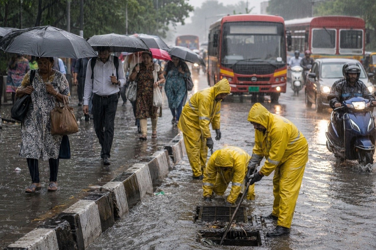
Mumbai and Thane on Alert as IMD Warns of Very Heavy Weekend Rain
The IMD has forecast heavy to very heavy rainfall with isolated extremely heavy spells over Mumbai and Thane on July 4 and 5, putting transport, drainage and emergency systems on weekend watch.
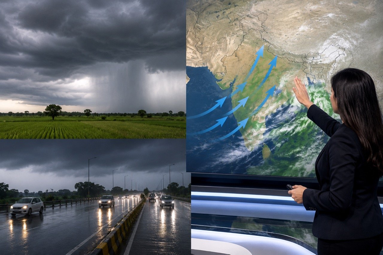
Monsoon Marches North: IMD Flags Heavy Rain for Gujarat to Punjab
The southwest monsoon is set to push into Gujarat, Punjab, Haryana and Rajasthan, with the IMD warning of extremely heavy rainfall over Konkan and Gujarat between July 4 and 7.
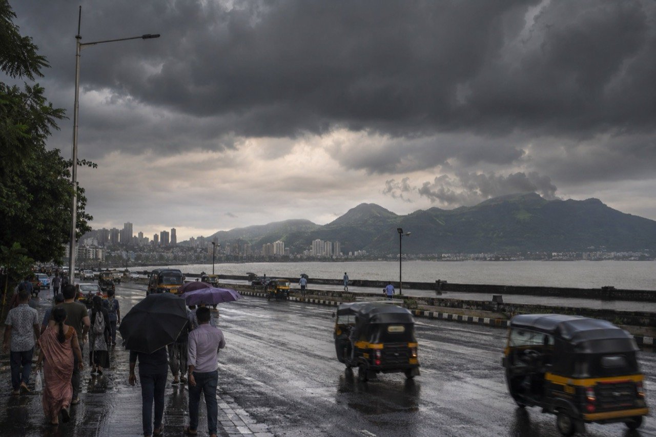
Monsoon Revival Forecast Triggers Rain Alerts Across India as Heat Lingers
India's southwest monsoon is set to regain strength this week, bringing very heavy rain to the Northeast and Maharashtra even as central districts stay under heatwave warnings.
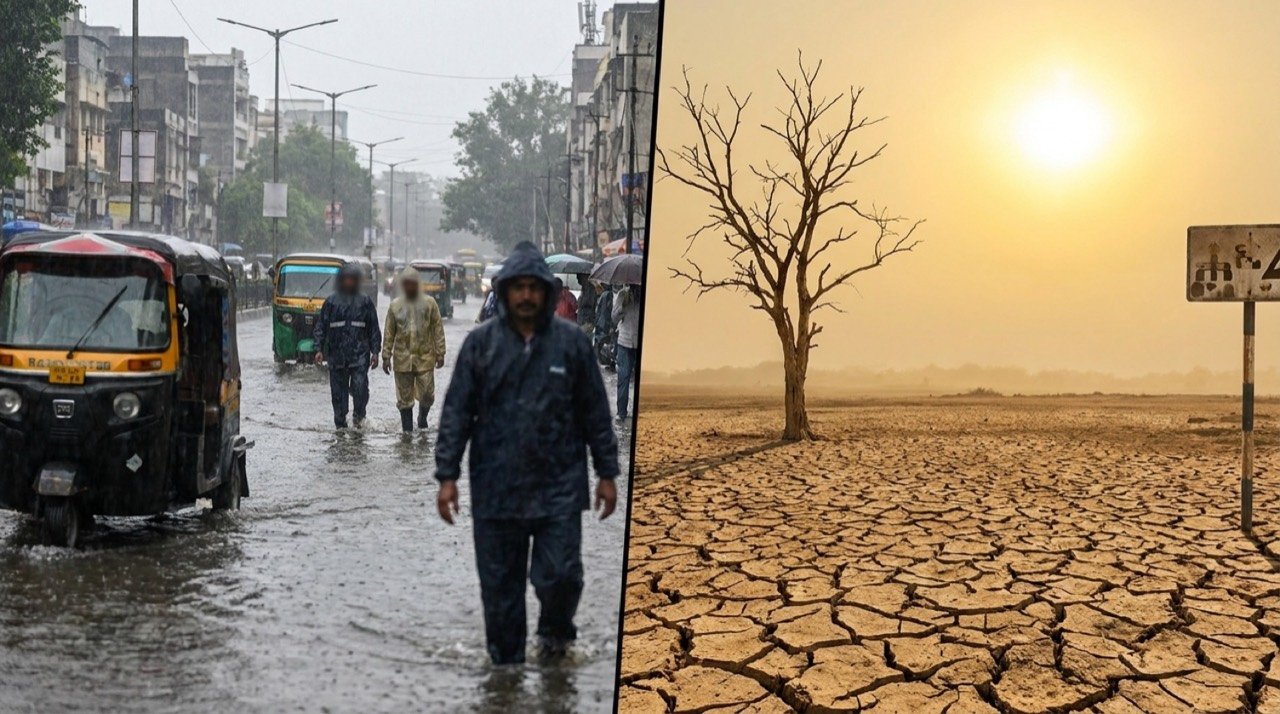
IMD Flags Heavy Rain And Heat Alerts As India's Weather Map Splits
India faces a divided weather map this week, with the IMD warning of heavy rainfall across several states even as parts of the north and centre swelter under high temperatures and heat stress.
More from this section
More
AICTE Industry Fellowship 2026: Rs 1.5 Lakh Scheme Closes July 5
The AICTE Industry Fellowship Programme 2026, which places technical-education faculty inside leading companies on a Rs 1.5 lakh monthly stipend, reached its application deadline on July 5.
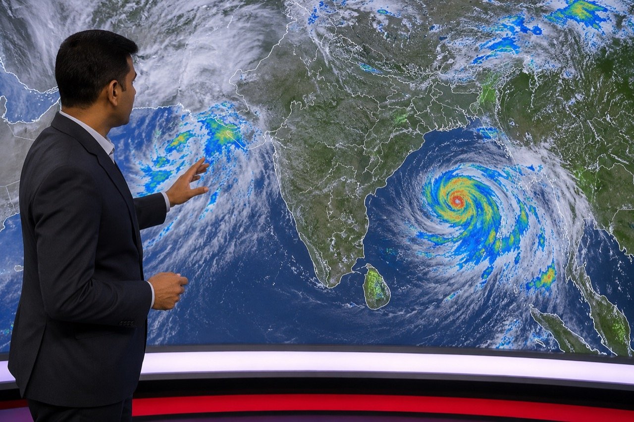
Bay of Bengal Low Pressure System Revives Monsoon Over Western India
A low-pressure system over the Bay of Bengal has pushed the monsoon back into an active phase, bringing steady heavy rain to Kerala, coastal Karnataka and Maharashtra, and putting Mumbai and Pune on preparedness watch.
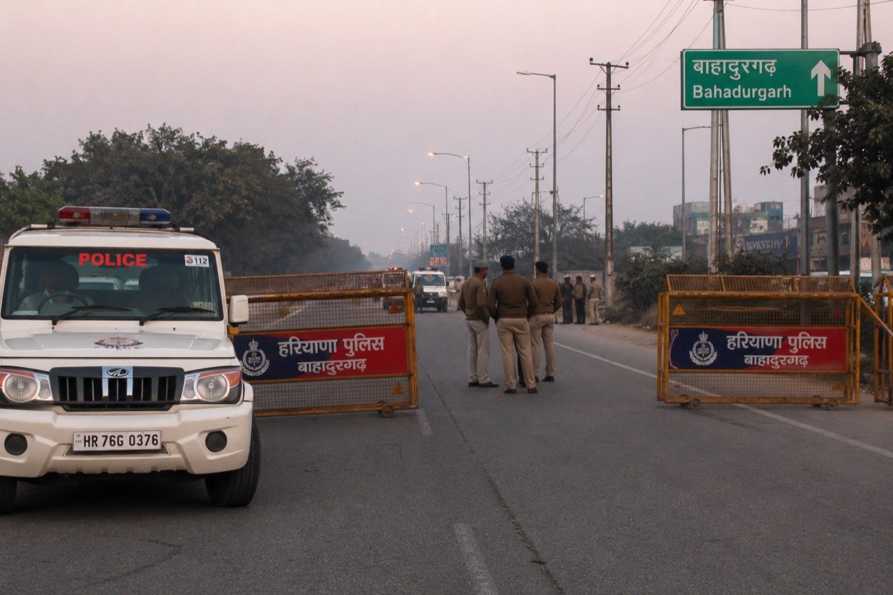
Bishnoi Gang Suspects Injured in Haryana Encounter as Police Tighten Net
A joint Haryana-Delhi Police operation in Bahadurgarh left two suspected Lawrence Bishnoi gang members injured, spotlighting the multi-state coordination now central to India's fight against organised crime networks.