Karnataka Rain Alert: Bengaluru and Coastal Districts on Watch
Strengthening monsoon rain has put Karnataka on alert, with Bengaluru commuters bracing for waterlogged roads, coastal districts watching for intense spells, and farmers tracking every millimetre for sowing.
Commentary & Analysis ·
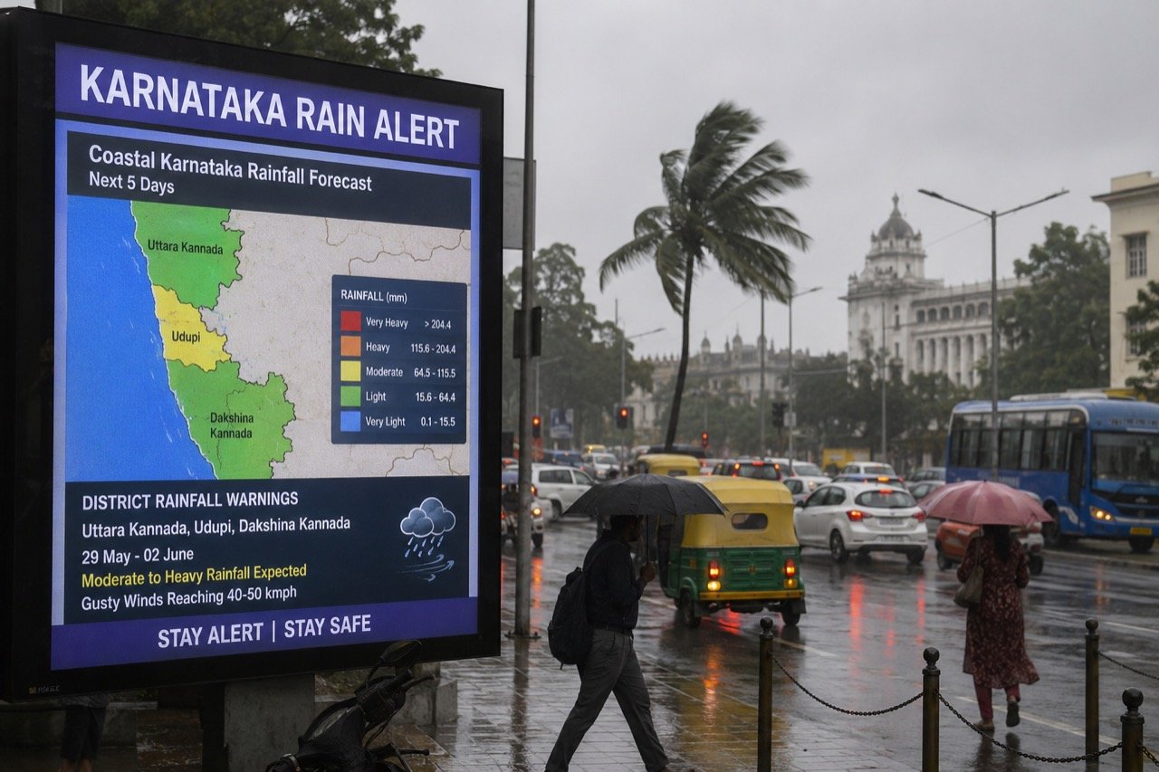
Karnataka's latest rain alerts have placed very different parts of the state on a common weather watch. As the monsoon spell strengthens, Bengaluru's traffic-heavy urban core, the rain-vulnerable coastal belt and the agricultural interior are each reading the forecasts for their own reasons. The alerts are, on paper, a single meteorological event. In practice, they are three separate stories unfolding under one banner, and understanding why is essential to understanding how Karnataka manages its monsoon each year.
Three geographies, three risks
In Bengaluru, intense showers translate quickly into traffic snarls, waterlogged underpasses and treefall — familiar disruptions that can paralyse the city's commute within an hour. This is not a new phenomenon for the city; it is a recurring one, and its recurrence is itself informative. A city that floods in roughly the same places every monsoon is not simply unlucky with rainfall. It is revealing where its drainage infrastructure has not kept pace with its growth, and where enforcement of encroachments on stormwater drains has lagged behind the rhetoric around fixing them.
The coastal districts face a different calculus altogether. There, rainfall intensity combined with terrain can create local hazards that warrant sharper, district-level warnings rather than a single blanket alert for the state. Steep coastal terrain, proximity to the sea, and dense settlement patterns along the shoreline and in the hills mean that the same volume of rain that causes an inconvenient commute in Bengaluru can pose a genuine safety risk on the coast. This is why graded, district-specific alerts matter more here than a generalised statewide advisory would.
For the interior, the same rain is an economic signal rather than a hazard. Farmers track rainfall distribution closely for sowing decisions and soil moisture, making the monsoon's spread across the state as important as its intensity. A heavy, concentrated downpour that causes flooding in one district may do little to help a farmer two hundred kilometres away who needs steady, well-distributed rainfall over the sowing season. This divergence in what "the monsoon" means to different Karnataka residents is the central fact that any coverage of the rain alerts needs to hold onto.
Why one alert cannot serve three audiences
The tendency in weather reporting is to treat a rain alert as a single, undifferentiated warning that applies uniformly across a state. Karnataka's geography makes that approach inadequate. An alert calibrated for coastal safety concerns is not the same as one calibrated for urban traffic management, and neither is directly useful to a farmer trying to decide when to sow. When these distinct signals are compressed into one statewide bulletin, something gets lost for each audience. The commuter in Bengaluru may not register that a coastal warning is more severe than what they are experiencing locally. The farmer may not extract the district-level distribution data buried inside a broader alert. This is less a failure of meteorology than a failure of how forecasts are packaged and communicated to the public.
Reading the alerts sensibly
Officials and forecasters, including the India Meteorological Department's Bengaluru centre, issue graded alerts precisely so that responses can be proportionate. The grading system exists for a reason: not every forecast is a crisis, and treating every alert as equally urgent risks the same fatigue that eventually leads people to ignore warnings altogether. At the same time, local impacts can be serious, and residents are best served by checking their own district advisories rather than assuming a general statewide bulletin tells them everything they need to know. The practical advice that follows from this is straightforward but easily overlooked: pay attention to the geography-specific detail, not just the headline alert level.
The next signals worth watching are rainfall distribution across the state, any school or traffic advisories issued by local authorities, and local emergency updates from district administrations. These are the concrete, actionable data points that translate a meteorological forecast into a decision about whether to send children to school, whether to delay road travel, or whether coastal and hillside communities need to take precautionary measures.
The recurring nature of the problem
What makes Karnataka's monsoon coverage worth returning to each year is not the weather itself, which is a natural and expected seasonal event, but the pattern of how the state responds to it. Bengaluru's waterlogging map has shown limited change from year to year. This consistency is itself a data point: it suggests that the same underpasses, the same low-lying junctions and the same drainage bottlenecks fail under broadly similar rainfall conditions each season. If the underlying infrastructure gaps were being closed, the map of vulnerable spots would shrink or shift. Its persistence points toward a gap between the urgency with which flooding is discussed each monsoon and the follow-through on drainage investment and enforcement in the months in between.
The coast presents a related but distinct challenge. Fishing communities and hillside settlements are precisely the populations least likely to be reached quickly by a generalised, state-level alert, yet they are among those most exposed to the specific hazards that heavy coastal rainfall can produce. A warning system that works well for a metropolitan audience with smartphone access and constant news coverage may not work nearly as well for communities that need faster, more localised, and more direct channels of communication.
The NE Times View
Karnataka's monsoon is both a necessity and an annual civic examination, and the state keeps sitting the same paper. Bengaluru's waterlogging map barely changes from year to year, which means the problem is drainage investment and enforcement, not the rain. The coast, meanwhile, needs hyper-local warning systems that reach fishing communities and hillside settlements faster than a state-wide alert can. Treating each alert as a test of infrastructure — and publishing what failed after every heavy spell — would turn routine weather coverage into genuine accountability. The monsoon itself is not the story; it is the same predictable visitor every year. The story is whether the systems meant to manage its consequences are improving, standing still, or quietly falling further behind the scale of the problem.
Key takeaways
- Karnataka's rain alerts affect Bengaluru's urban core, the coastal belt, and the agricultural interior in three distinct ways, requiring different responses from each.
- Graded, district-level alerts from bodies such as the IMD's Bengaluru centre exist to make responses proportionate rather than treating every forecast as a crisis.
- Rainfall distribution, school and traffic advisories, and local emergency updates are the key signals residents should track in the days ahead.
- Bengaluru's persistent waterlogging pattern points to a drainage infrastructure and enforcement gap rather than an unusually severe monsoon.
- Coastal and hillside communities would benefit from faster, hyper-local warning systems rather than reliance on state-wide alerts alone.
You may also like to read
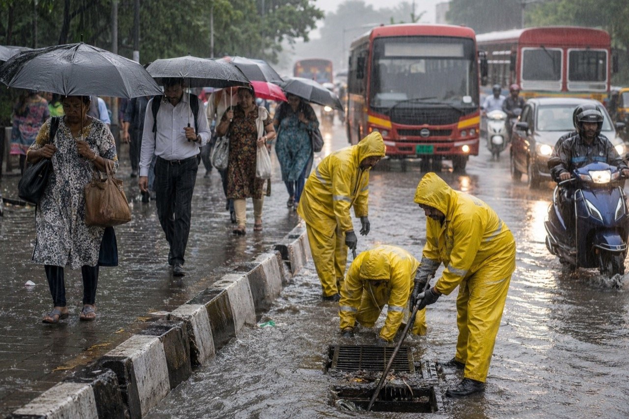
Mumbai and Thane on Alert as IMD Warns of Very Heavy Weekend Rain
The IMD has forecast heavy to very heavy rainfall with isolated extremely heavy spells over Mumbai and Thane on July 4 and 5, putting transport, drainage and emergency systems on weekend watch.
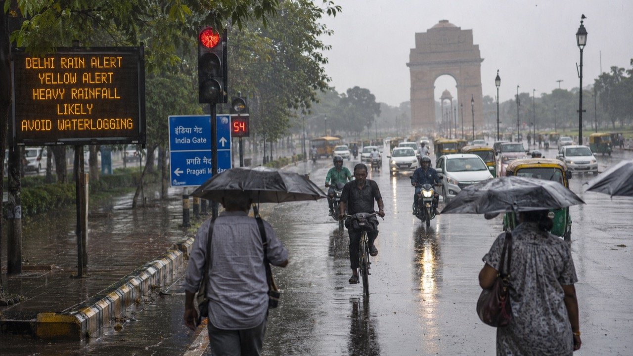
Delhi Rain Alert: Monsoon Travel and Civic Readiness Under Watch
Delhi's monsoon rain watch has residents tracking weather alerts and traffic advisories, as even moderate showers test the capital's drainage, underpasses and last-mile travel networks.
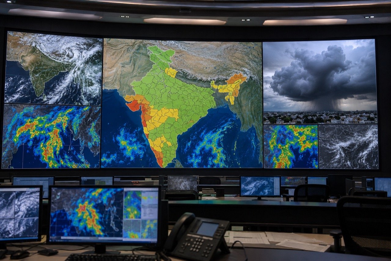
India Monsoon Alerts: Heavy Rain Warnings for Konkan, Gujarat, North
India's monsoon remains active with heavy rainfall alerts spanning Konkan, Gujarat, parts of Maharashtra and northern states, as forecasters warn of isolated extremely heavy spells that could disrupt transport and daily life.
Delhi-NCR Weather Alert: Thunderstorms, Lightning and Strong Winds Forecast Across Capital Region
The India Meteorological Department has placed Delhi-NCR under a heightened weather watch, warning of thunderstorms, lightning, gusty winds and rain that could disrupt traffic, flights and power supply.
More from this section
More
AICTE Industry Fellowship 2026: Rs 1.5 Lakh Scheme Closes July 5
The AICTE Industry Fellowship Programme 2026, which places technical-education faculty inside leading companies on a Rs 1.5 lakh monthly stipend, reached its application deadline on July 5.
Bay of Bengal Low Pressure System Revives Monsoon Over Western India
A low-pressure system over the Bay of Bengal has pushed the monsoon back into an active phase, bringing steady heavy rain to Kerala, coastal Karnataka and Maharashtra, and putting Mumbai and Pune on preparedness watch.
Bishnoi Gang Suspects Injured in Haryana Encounter as Police Tighten Net
A joint Haryana-Delhi Police operation in Bahadurgarh left two suspected Lawrence Bishnoi gang members injured, spotlighting the multi-state coordination now central to India's fight against organised crime networks.