ISRO Successfully Launches Next-Generation Navigation Satellite
The mission strengthens India's homegrown positioning system, with applications spanning aviation, disaster response and everyday navigation.
Commentary & Analysis ·

The Indian Space Research Organisation has successfully placed a next-generation navigation satellite into orbit, marking another step in the country's drive to build a self-reliant positioning system independent of foreign networks. The mission adds to a steadily growing constellation designed to give India sovereign control over a capability that underpins a wide range of civilian and strategic services. The new satellite carries upgraded payloads designed to improve accuracy and reliability across the subcontinent and surrounding waters, capabilities with direct benefits for aviation, maritime traffic, agriculture and disaster management. By strengthening a home-grown network, the launch reduces reliance on positioning signals operated by other nations, an objective that carries both practical and strategic weight.
Building India's own positioning network
The regional navigation constellation has steadily matured over the past decade, and the latest addition is expected to extend coverage and resilience. This is a point worth dwelling on, because satellite constellations are not built once and forgotten. A robust constellation requires periodic replenishment as older satellites age and eventually reach the end of their operational lives. Each new launch, therefore, is not merely additive; it is also restorative, ensuring continuity of service while incorporating improvements developed in the intervening years since the last spacecraft of its kind went up. In that sense, this mission should be read less as a single triumphant event and more as evidence of a maturing, self-sustaining programme that can renew its own infrastructure on schedule.
Engineers described the textbook launch as a reflection of growing confidence in indigenous systems. That confidence has been earned incrementally. The ability to design, build and deploy such satellites domestically represents a significant capability, one that has been cultivated through successive missions and that supports a broadening ecosystem of suppliers and specialists. Every additional satellite that reaches orbit without incident adds to a track record that, over time, becomes its own form of institutional capital, reassuring both government users and, eventually, commercial adopters that the system is dependable enough to build products and services upon.
A mission scientist put the human dimension of this work succinctly: "Every launch like this brings critical services closer to home, from guiding emergency responders to powering the maps in your pocket." It is a useful reminder that behind the engineering milestones sits a simpler ambition, to make an invisible utility so reliable that ordinary citizens never have to think about where their location data is coming from.
Everyday and strategic uses
Precise positioning has become woven into daily life and critical infrastructure alike, and it is worth setting out just how far its reach extends. The same signals that guide navigation apps on smartphones also help aircraft and ships chart safe routes, allow farmers to manage fields more efficiently, and enable rescue teams to locate people and coordinate relief when disaster strikes. Four categories of use stand out in particular: aviation and maritime navigation across the region, disaster response and emergency coordination, precision applications in agriculture, and everyday consumer mapping and location services.
Each of these domains carries its own logic for why sovereign control matters. Aviation and maritime authorities need positioning signals they can trust to remain available and unaltered regardless of the state of relations with any foreign power. Disaster response teams need a system that will not be degraded or withdrawn at the moment it is needed most, precisely the scenario in which dependence on an external provider is most dangerous. Farmers using precision agriculture tools benefit from consistent, high-accuracy signals tailored to local geography rather than a one-size-fits-all global service. And ordinary consumers, whether they realise it or not, benefit from a positioning layer that is resilient to disruption, since so much of modern life, from ride-hailing to food delivery to banking authentication, now quietly depends on knowing where a device is.
Why sovereignty over positioning signals matters
It is easy to take satellite navigation for granted precisely because it works so unobtrusively, but that ease conceals a real strategic vulnerability for any country that relies entirely on infrastructure controlled by another state. Positioning, navigation and timing signals are dual-use by nature: the same constellation that helps a delivery rider find an address also helps guide precision-strike weapons and coordinate military logistics. A nation that depends wholly on a foreign-operated system accepts, implicitly, that its access to this capability could be degraded, restricted or withdrawn during a crisis, whether through deliberate policy, technical failure, or simple prioritisation of the operating country's own needs over those of dependent users elsewhere. Building and maintaining an indigenous constellation removes that point of leverage. It is the same logic that has driven other major powers to build their own systems, and it is unsurprising that India, given its geography, its aviation and maritime traffic, and its exposure to natural disasters, has pursued the same path with sustained investment over more than a decade.
A widening space programme
The launch also underscores India's expanding ambitions in space, where the agency is balancing scientific missions with a fast-growing commercial launch business. Alongside exploratory and research missions, the space programme has increasingly positioned itself as a competitive provider of launch services, blending national objectives with commercial opportunity. This dual mandate is not without tension. Scientific missions tend to be prestige projects with long development timelines and diffuse benefits, while commercial launch contracts demand reliability, cost discipline and responsiveness to paying customers. That the agency can apparently run a routine navigation-satellite replenishment mission alongside these other commitments, without apparent strain, speaks to an organisation whose institutional capacity has broadened considerably beyond its origins as a purely scientific and strategic body.
As the constellation grows and the agency takes on more varied work, observers will watch how India sustains the reliability of its navigation services while pursuing larger scientific and commercial goals, a balancing act that this latest, smoothly executed mission suggests it is managing with confidence. The test for any space programme attempting this balancing act is not whether it can execute one mission type well, but whether it can do so consistently across simultaneous priorities without one crowding out the other. So far, the pattern has been encouraging.
What comes next: the adoption question
The harder and less visible challenge lies not in orbit but on the ground. A navigation constellation is only as useful as the devices that actually use it. For the sovereign system to translate into genuine strategic and economic value, it needs to be embedded in the chipsets that power smartphones, the receivers used in commercial aviation and shipping, and the sensors deployed across agricultural and disaster-management equipment. This is a slower, more commercially complicated task than launching satellites, since it requires persuading manufacturers, both domestic and international, to build in support for the system as standard, and it requires building consumer and enterprise awareness that the option exists and is worth using. Watch, in the months ahead, for signals of progress on this front: announcements of chipset support, adoption by domestic handset makers, and any push to mandate or incentivise use of the indigenous system in critical government and infrastructure applications.
The NE Times View
Strengthening NavIC is strategically shrewd: relying on foreign positioning systems for aviation, disaster response and defence is a vulnerability no serious power should accept. The harder challenge is downstream adoption, getting Indian chipsets, phones and devices to actually use the system at scale. ISRO has proven it can launch; the unfinished mission is building the commercial ecosystem so this homegrown capability becomes part of everyday life, not just an orbital asset. Success should ultimately be measured not in successful launches, which India has now demonstrated it can deliver reliably, but in the quiet, unglamorous work of integration: how many devices sold in India default to using the sovereign system, how many critical services are built upon it, and how invisible it becomes in daily use. That is the metric that will determine whether this latest satellite represents a genuine strategic asset or merely an impressive but underused piece of orbital hardware.
Key takeaways
- ISRO has successfully launched a next-generation navigation satellite, extending and renewing India's regional positioning constellation with upgraded payloads for improved accuracy and reliability.
- The system supports aviation, maritime navigation, disaster response, precision agriculture and everyday consumer mapping, reducing India's reliance on foreign-operated positioning networks.
- Constellation maintenance requires periodic replenishment as satellites age, and this launch reflects growing indigenous confidence in designing, building and deploying such systems domestically.
- The mission also highlights ISRO's broader balancing act between scientific research missions and a growing commercial launch services business.
- The principal unfinished task is downstream adoption: embedding the system in Indian chipsets and devices so it becomes a routine part of daily life rather than solely an orbital capability.
You may also like to read
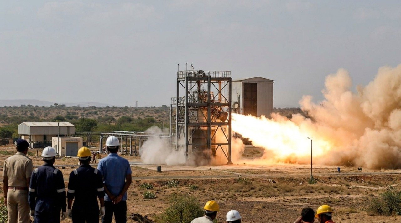
ISRO Fires Semi-Cryogenic Engine Power Head at 175 Tonnes in Landmark Hot Test
ISRO successfully ran its indigenous semi-cryogenic engine power head at 175 tonnes of thrust, clearing a key hurdle toward powering the LVM3 upgrade and the Next Generation Launch Vehicle.
ISRO Pushes Toward First Uncrewed Gaganyaan Flight With Humanoid Vyommitra Aboard
ISRO has confirmed that flight integration for its first uncrewed Gaganyaan mission is underway, with the humanoid robot Vyommitra set to ride an LVM3 rocket ahead of a crewed launch in 2027.
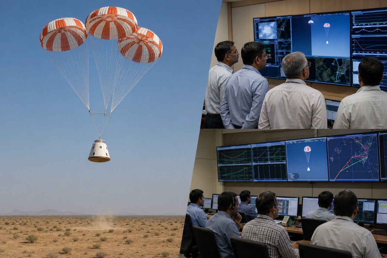
Gaganyaan Parachute Test Success Moves ISRO Closer to Crewed Flight
ISRO has completed successful integrated parachute tests for the Gaganyaan crew capsule, validating a critical part of the descent and recovery system as India's human spaceflight programme advances through key engineering milestones.
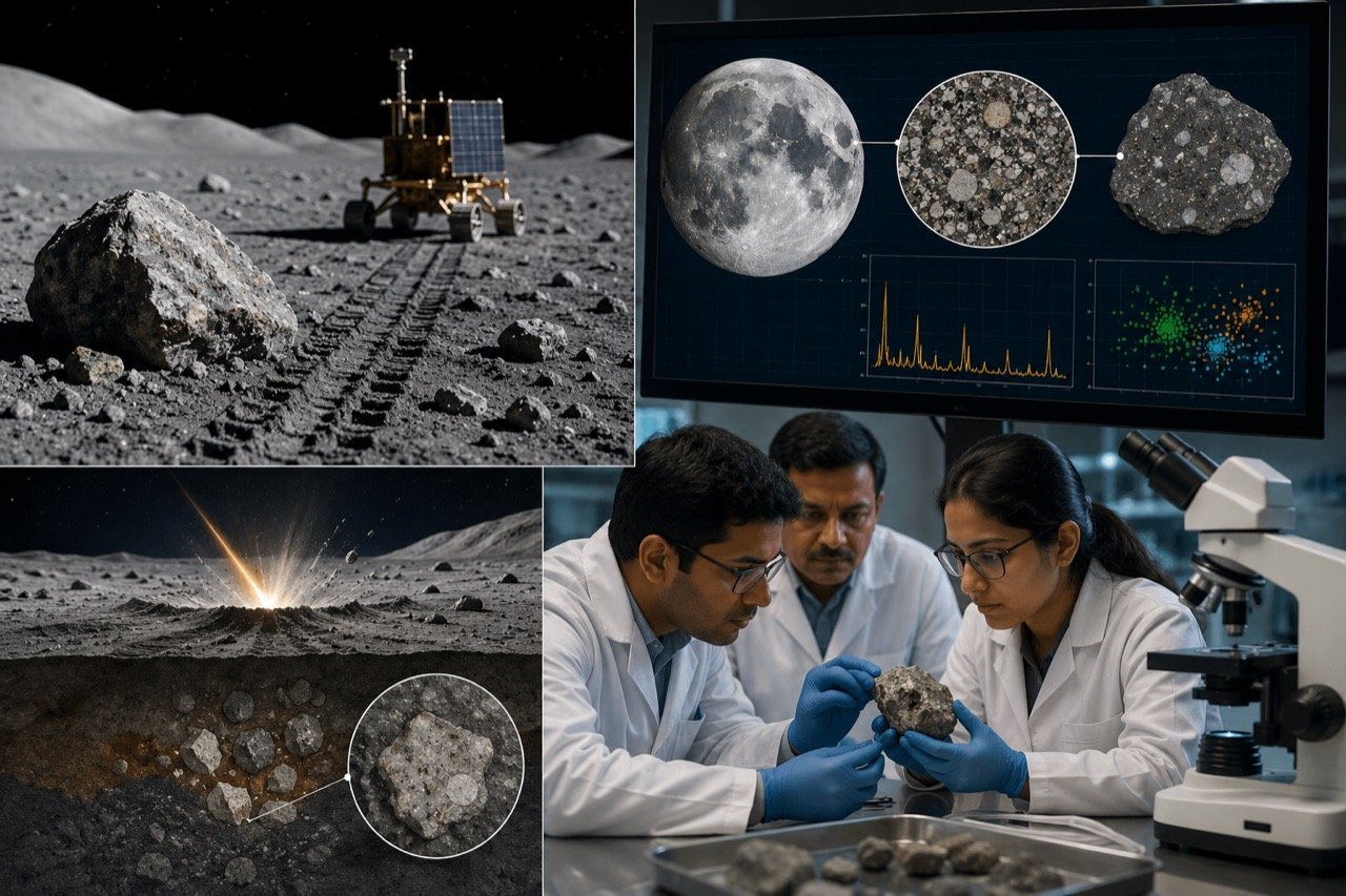
Chandrayaan-3 Data Tied to Earth's First Lunar Meteorite
New science coverage says findings from ISRO's Chandrayaan-3 mission reveal a link to Earth's first lunar meteorite, showing the landmark landing is still generating research long after touchdown.
More from this section
More
CG Semi Sanand Plant Opens, Boosting India's Semiconductor Drive
Prime Minister Narendra Modi inaugurated CG Semi's chip assembly and test facility in Sanand, Gujarat, giving India's semiconductor mission a working manufacturing milestone rather than another policy promise.

Chinese E-Rickshaw Apps Banned in India Over Remote Disable Risk
The Centre has ordered the removal of three Chinese apps — BAT-BMS, Lossigy and Epoch-i-ion — over fears they could remotely disable battery-run e-rickshaws, turning mobility software into a public safety concern.

Connected Car Rules: India Plans Vehicle Software Update Norms
With cars increasingly run by software, the government is reportedly preparing update and security norms aimed at preventing vehicle hijacking and governing how connected cars in India are patched and protected.