WMO Flags Rapid El Nino Risk, Putting India's Monsoon On Watch
A World Meteorological Organization warning that El Nino could develop rapidly between July and September has revived concerns about below-normal rainfall over the Indian subcontinent and its economic ripple effects.
Commentary & Analysis ·
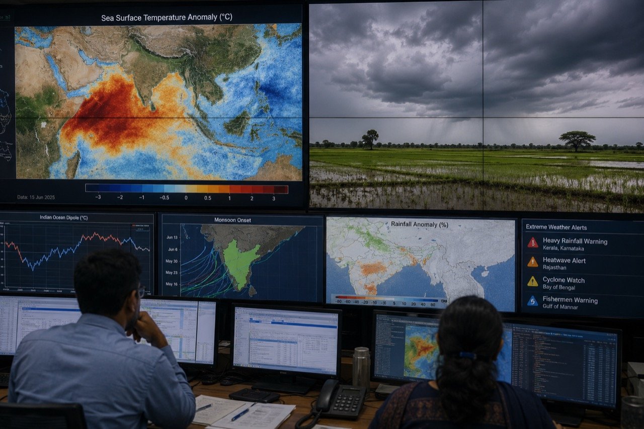
A warning from the World Meteorological Organization that El Nino conditions could develop rapidly during July-September has become one of the most consequential weather stories for India this season, with reports linking the development to a risk of below-normal rain over the subcontinent. On the surface, this is a story about ocean temperatures thousands of kilometres away in the Pacific. In practice, it is a story about Indian kitchens, farms and finances. The stakes extend well beyond meteorology: monsoon rainfall feeds into sowing decisions, rural incomes, reservoir storage, food inflation and even power demand, which is why an alert of this kind, issued by a global scientific body rather than a domestic agency, commands attention in Delhi.
Why a Pacific signal matters in Delhi
The chain of cause and effect here is long but well understood in outline. Indian agriculture remains heavily dependent on the June-to-September southwest monsoon, which irrigates the bulk of the country's kharif crops and replenishes the reservoirs that carry drinking water and power generation through the drier months. When that rainfall is disrupted, the effects do not stay confined to farm ledgers. Weak or patchy rains can push up prices of staples, strain rural household incomes, and, through both channels, feed into broader inflation readings that policymakers watch closely. This is precisely why a WMO alert about a Pacific Ocean pattern becomes front-page material in a country whose economic planning still bends around the monsoon calendar.
What El Nino means for Indian rainfall
El Nino refers to a warming of the central and eastern Pacific that can reshuffle global weather patterns. For India the relationship is important but not mechanical: weak monsoons have coincided with El Nino years, yet rainfall here also depends on the Indian Ocean Dipole, low-pressure systems, the behaviour of the monsoon trough and regional circulation. In other words, El Nino is one input among several, not a standalone switch that turns the monsoon on or off. Years have occurred in which an El Nino pattern was present in the Pacific and Indian rainfall still ended up close to normal, because a favourable Indian Ocean Dipole or an active monsoon trough compensated for it. That is why the WMO's alert is best read as a risk signal rather than a drought forecast. Deterministic conclusions at this stage would outrun the science, and any commentary that treats this warning as a confirmed crop failure or a certain drought is overreaching what the underlying meteorology actually supports.
The gap between statistical averages and lived experience
One of the more important, if less headline-friendly, aspects of monsoon risk is that national or even state-level rainfall totals can conceal a great deal of local variation. A season can close the books as statistically "near normal" in aggregate while specific districts go through a dry spell at exactly the wrong moment, such as during sowing or a critical crop growth stage. It is this uneven distribution, rather than the total volume of rain, that typically does the most economic damage. Crop losses and localised price spikes are often born in these gaps between what the all-India number says and what a particular farmer experiences in a particular week. Any serious assessment of El Nino risk to India therefore has to look past the headline rainfall percentage and toward the spatial and temporal pattern of rain as the season unfolds.
Stakeholders with the most at stake
Several groups have a direct interest in how this plays out. Farmers, particularly those growing rain-fed kharif crops, need early clarity on whether to adjust sowing choices or timelines. State agriculture departments carry the responsibility of translating a broad national risk signal into practical, localised guidance and contingency planning. Reservoir and power authorities must track storage levels closely, since both irrigation supply and hydropower generation are sensitive to shortfalls. And macroeconomic policymakers, including those responsible for managing food inflation, will be watching rainfall distribution data as a leading indicator of price pressures later in the year. Each of these actors needs different information at a different level of granularity, which is why blanket alarm at the WMO's warning would be less useful than a calibrated, sector-specific response.
The signals to track from here
The genuinely informative updates will come from India Meteorological Department forecasts, the spatial distribution of rainfall as the season progresses, and reservoir level data. These are the indicators that will actually reveal whether the risk flagged by the WMO is materialising, and in what form. National rainfall aggregates issued periodically through the season will offer one layer of information, but as noted above, they need to be read alongside district-level and reservoir-specific data to get a true picture of on-the-ground impact. For now, the warning is a prompt for close monitoring, not panic. Overreacting to an early-season global alert carries its own costs, from premature market speculation to unnecessary anxiety among farming communities, just as underreacting carries the risk of being caught unprepared if the pattern does develop as forecast.
The NE Times View
India's real vulnerability to El Nino is less about total rainfall than about preparedness for its uneven distribution. A season can end statistically "near normal" while leaving specific districts parched at sowing time, and that is where crop losses and price spikes are born. The sensible response to this warning is administrative, not rhetorical: contingency crop plans, honest reservoir accounting and early communication to farmers about seed and sowing options. None of these measures require certainty about how the season will ultimately unfold; they simply require treating the WMO's alert as a reasonable basis for readiness rather than as either an alarm to be dismissed or a disaster to be assumed. Administrations that move early on contingency planning lose little if the monsoon turns out fine, but gain a great deal if it does not. If states treat the WMO's alert as a rehearsal trigger rather than a headline, the country will be far better placed whether or not El Nino fully materialises. That, ultimately, is the measure of a sound policy response to an uncertain but consequential signal.
Key takeaways
- The WMO has flagged a risk of rapid El Nino development between July and September, which is linked to a risk of below-normal monsoon rainfall over India, though this is a risk signal rather than a confirmed drought forecast.
- Indian rainfall outcomes depend on multiple factors beyond El Nino, including the Indian Ocean Dipole, the monsoon trough and regional circulation, so the relationship with Pacific warming is important but not mechanical.
- The bigger economic risk lies in the uneven distribution of rainfall rather than the national aggregate total, since specific districts can face shortfalls at critical sowing periods even in a "near normal" season.
- The most reliable indicators to watch going forward are India Meteorological Department forecasts, the spatial spread of rainfall through the season, and reservoir storage levels.
- The most useful policy response is administrative preparation, such as contingency crop plans, transparent reservoir accounting and early farmer communication, rather than reactive alarm.
You may also like to read
El Nino Risk Flags 111 Districts for Monsoon Deficit Worry
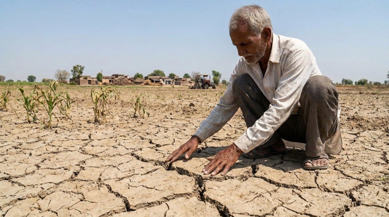
A fresh assessment has identified 111 districts as highly vulnerable to an El Nino-linked monsoon deficit, with Maharashtra and Madhya Pradesh accounting for a large share and farm incomes at stake.
Monsoon advances across the country in June, but IMD warns of a below-normal season
After reaching Kerala on 4 June, the southwest monsoon has spread into eastern and central India, even as the weather office trims its seasonal rainfall forecast to 90% of the long-period average.
Monsoon Deficit Triggers Farm Contingency Mapping Across 315 Districts
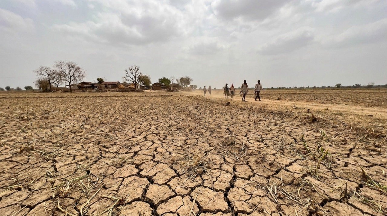
A weak June monsoon, with the rain deficit reported at 43 percent, has pushed the Centre to map 315 districts for contingency measures and tighten oversight of kharif sowing.
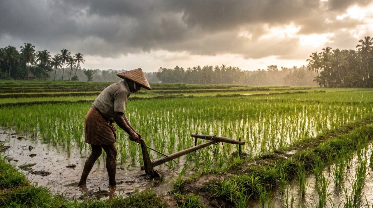
Monsoon 2026 Begins Under An El Nino Shadow As IMD Warns Of A Deficit
With the southwest monsoon now advancing across the country, the IMD has cautioned that rainfall could fall below normal this season, raising concern for farms, reservoirs and the wider economy.
More from this section
More
AICTE Industry Fellowship 2026: Rs 1.5 Lakh Scheme Closes July 5
The AICTE Industry Fellowship Programme 2026, which places technical-education faculty inside leading companies on a Rs 1.5 lakh monthly stipend, reached its application deadline on July 5.
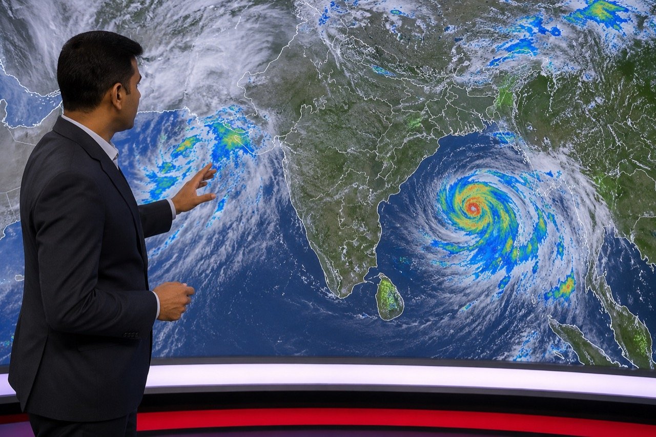
Bay of Bengal Low Pressure System Revives Monsoon Over Western India
A low-pressure system over the Bay of Bengal has pushed the monsoon back into an active phase, bringing steady heavy rain to Kerala, coastal Karnataka and Maharashtra, and putting Mumbai and Pune on preparedness watch.
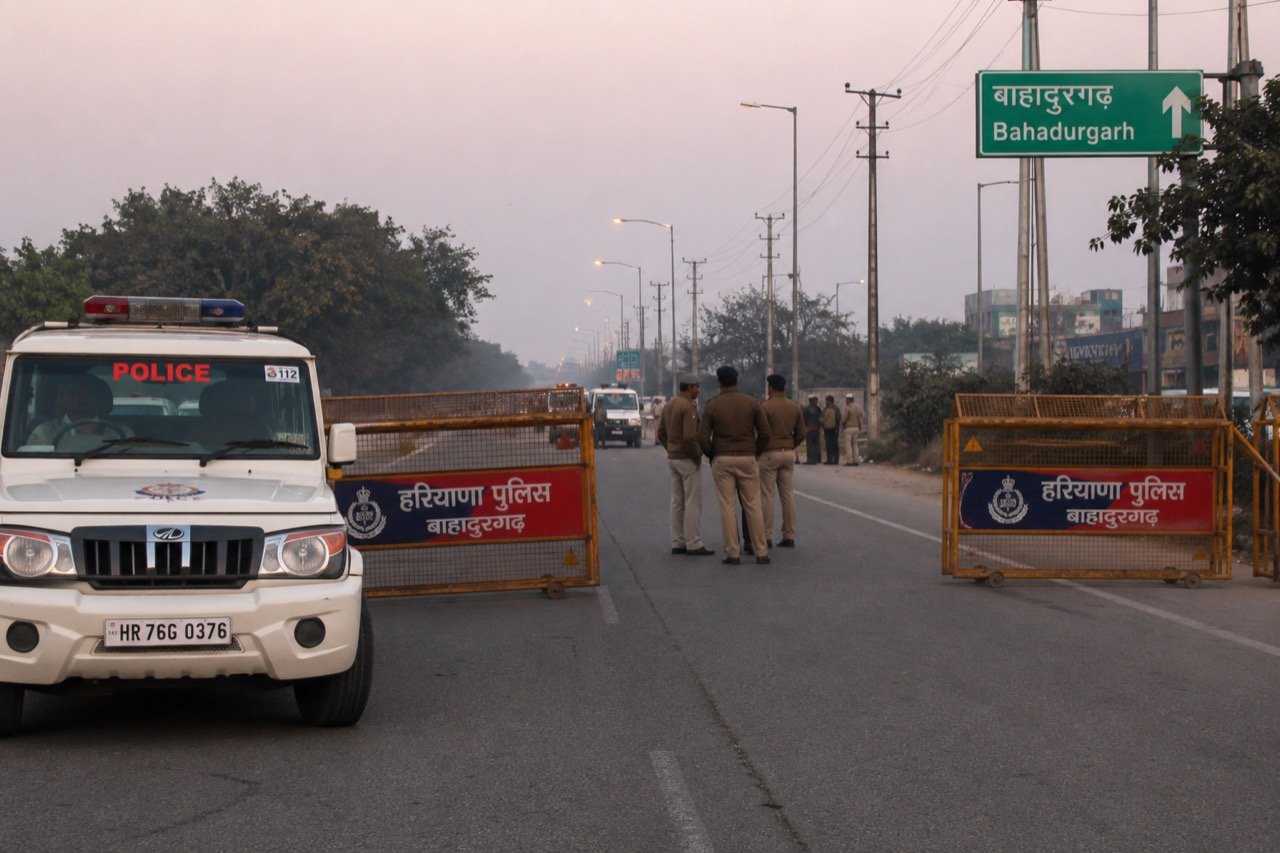
Bishnoi Gang Suspects Injured in Haryana Encounter as Police Tighten Net
A joint Haryana-Delhi Police operation in Bahadurgarh left two suspected Lawrence Bishnoi gang members injured, spotlighting the multi-state coordination now central to India's fight against organised crime networks.