Delhi Weather: Warmest July Day in Two Years, Orange Rain Alert Next
Delhi's maximum temperature climbed to 38.6 degrees Celsius on Sunday, its warmest July day in two years, even as the IMD issued an orange alert for moderate rain on Monday.
Commentary & Analysis ·
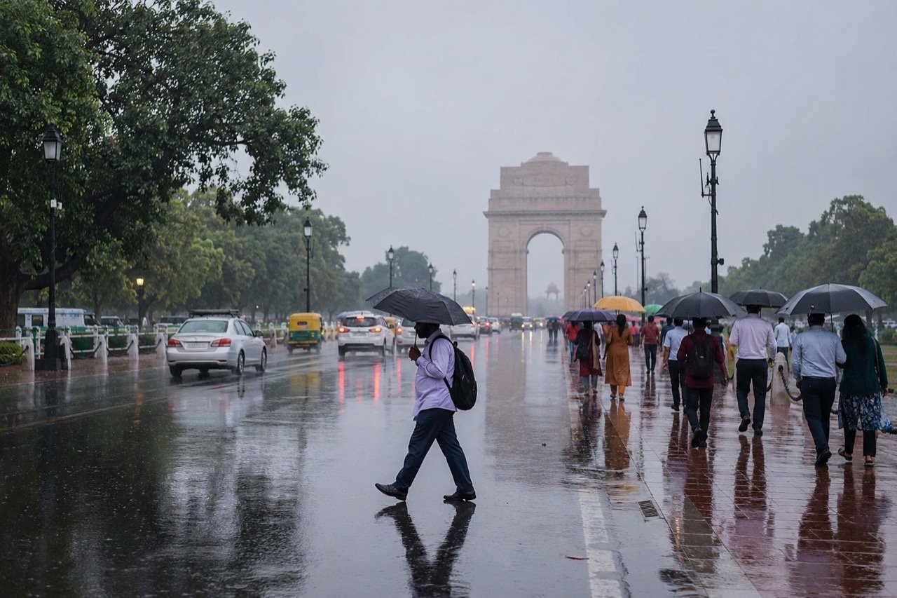
Delhi sweltered through its warmest July day in two years on Sunday, with the maximum temperature touching 38.6 degrees Celsius, according to NDTV. Almost in the same breath, the India Meteorological Department shifted the capital's outlook from heat discomfort to rain disruption, forecasting moderate showers under an orange alert for Monday. The alert followed a weekend in which scattered showers and waterlogging had already affected parts of the city, underlining how quickly Delhi's monsoon can swing between extremes. Taken together, the sequence of events reads less like an isolated weather blip and more like a compressed preview of the kind of volatility the capital must now plan for as a matter of course.
A city caught between two weather emergencies
What makes Sunday's reading notable is not simply that it was hot, but that it was the hottest July day Delhi has recorded in two years, arriving in the same weekend that scattered showers had already caused waterlogging in parts of the city. That juxtaposition, extreme heat and disruptive rain within the same short cycle, illustrates a pattern that has become increasingly familiar to residents during the monsoon transition. The capital's monsoon story is rarely tidy: high heat, heavy humidity, sudden downpours and waterlogged roads can all arrive within a single weather cycle, creating discomfort for residents and operational headaches for civic agencies. A single number, 38.6 degrees Celsius, does not exist in isolation. It has knock-on effects on outdoor workers who must labour through peak heat, on schoolchildren and commuters navigating transport during uncomfortable conditions, on power demand as cooling systems strain the grid, and on public health more broadly, particularly for the very young, the elderly and those with pre-existing conditions.
Why the swing from heat to rain matters
The rain that follows a spell of extreme heat can, in principle, bring welcome relief. Lower temperatures, cleared air and replenished groundwater are all genuine benefits of monsoon showers arriving after a hot spell. But the benefit is conditional on the city's ability to manage the water once it falls. If drainage systems are overwhelmed, the same rain that eases the heat can also slow traffic and trigger localised flooding in underpasses and low-lying neighbourhoods. This is the crux of Delhi's recurring monsoon dilemma: the weather itself is not necessarily the problem so much as the city's infrastructure response to it. The real test is not whether rain falls, but whether the city can absorb it. A day of relief can just as easily become a day of gridlock if stormwater drains are blocked, encroached upon, or simply undersized for the volumes now being recorded.
Reading the orange alert correctly
The IMD's orange alert for Monday, forecasting moderate showers, should be understood for what it is: a preparedness signal, not a cause for panic. Colour-coded alerts exist precisely to help both authorities and the public calibrate their response to expected conditions without either underreacting or overreacting. An orange alert asks authorities and residents to stay aware of evolving conditions and possible disruption, sitting below the most severe red-alert threshold but well above routine yellow-level caution. For ordinary citizens, the practical guidance that follows from such an alert is straightforward and worth repeating: track official IMD forecasts as they are updated, allow extra travel time for commutes and school runs, and avoid waterlogged stretches where possible rather than risking a vehicle or pedestrian route through standing water. These are modest asks, but they are the kind of small behavioural adjustments that, multiplied across a city of Delhi's size, can meaningfully reduce the human cost of a disrupted commute.
The civic test that follows the weather event
For civic bodies, Monday's spell functions as an early test of drainage response after a day of unusual July heat. It is one thing for a municipal system to cope with an isolated downpour after weeks of dry, stable weather; it is another to respond effectively when a heat spike and a rain alert arrive back-to-back, leaving little time to prepare drains, clear debris, or pre-position response teams. The weekend's scattered showers and waterlogging offer an early indication of how much slack, or how little, exists in the system before the Monday alert even takes effect. If waterlogging was already visible before the orange alert's rains arrive in full, that is a signal worth civic planners taking seriously rather than dismissing as routine monsoon inconvenience.
What residents and authorities should watch next
In the days ahead, the practical questions worth tracking are not really about the weather itself, which will do what it does, but about the response systems layered on top of it. Will drainage clear the moderate showers forecast for Monday without significant flooding in the same underpasses and low-lying neighbourhoods that have struggled before? Will public advisories from civic authorities be timely and specific enough to help commuters actually avoid the worst-affected stretches, rather than arriving after the disruption has already begun? And will the pattern seen this weekend, heat record followed swiftly by a rain alert, prove to be an isolated event or an early sign of how this particular monsoon season is likely to behave across the coming weeks. None of these questions can be answered from a single weekend's data, but the weekend does set a useful baseline against which the rest of the season can be judged.
The NE Times View
Delhi's monsoon story is no longer a rain story or a heat story; it is both at once, and the city's planning must reflect that. A record-warm July day followed within hours by an orange rain alert shows how compressed these swings have become. The lesson for the capital is that drainage, traffic management and public advisories need to work as one system, not as separate responses to separate emergencies. Treating a heat spike and a subsequent flood risk as unrelated events, handled by different desks with different timelines, is precisely the kind of institutional silo that leaves residents exposed in the gap between them. Residents deserve relief from the heat, but they also deserve a city that does not flood the moment relief arrives. If Delhi's civic agencies can begin treating heat and rain as two faces of a single, fast-moving weather system rather than as separate emergencies to be managed in sequence, the city stands a better chance of converting an uncomfortable weekend into a genuinely useful early warning for the monsoon weeks still to come.
Key takeaways
- Delhi recorded its warmest July day in two years on Sunday, with the maximum temperature reaching 38.6 degrees Celsius, according to NDTV.
- The IMD has forecast moderate showers under an orange alert for Monday, following weekend showers that already caused waterlogging in parts of the city.
- The rapid swing from record heat to a rain alert highlights how compressed and disruptive Delhi's monsoon transition has become for residents and civic agencies alike.
- An orange alert is a preparedness signal; residents are advised to track official IMD forecasts, allow extra travel time, and avoid waterlogged stretches.
- Monday's showers will serve as an early test of the capital's drainage response, with drainage, traffic management and public advisories needing to function as one coordinated system rather than separate reactions.
You may also like to read
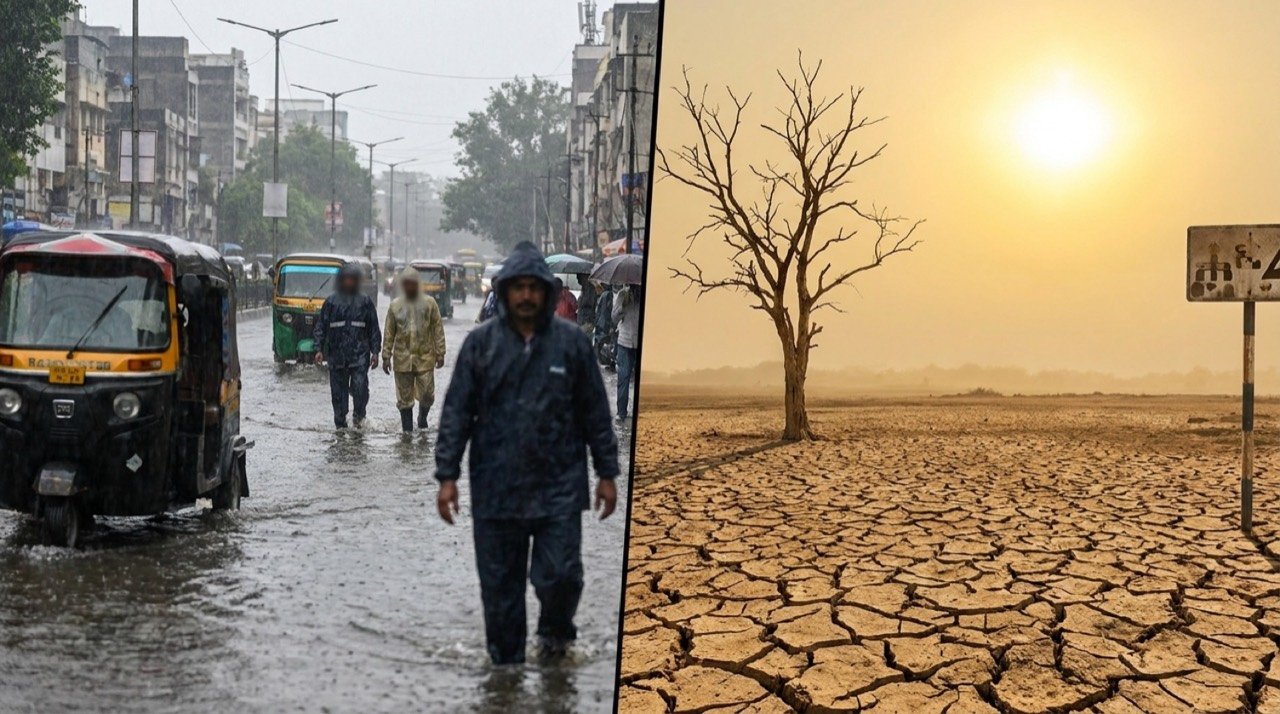
IMD Flags Heavy Rain And Heat Alerts As India's Weather Map Splits
India faces a divided weather map this week, with the IMD warning of heavy rainfall across several states even as parts of the north and centre swelter under high temperatures and heat stress.
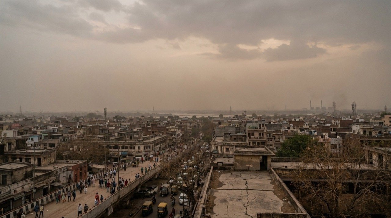
Delhi Waits for Monsoon Relief Amid Rain Deficit and Persistent AQI Watch
As June ends, Delhi faces a rainfall deficit and uncertain monsoon timing while PM2.5 and PM10 levels keep air quality in a moderate-to-poor zone, raising stakes for water, power and public health.
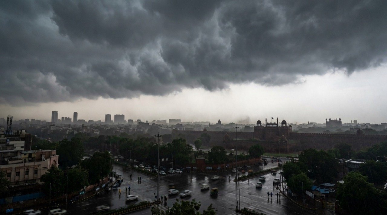
Delhi-NCR Weather Alert: Thunderstorms, Lightning and Strong Winds Forecast Across Capital Region
The India Meteorological Department has placed Delhi-NCR under a heightened weather watch, warning of thunderstorms, lightning, gusty winds and rain that could disrupt traffic, flights and power supply.
Monsoon Surges Into Central India as Heatwave Grips the East: A Split Weather Map
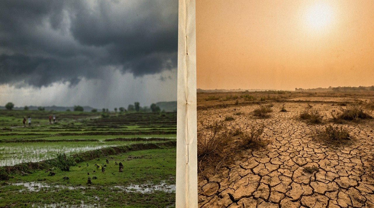
The India Meteorological Department reported the monsoon advancing into Gujarat and central India on 24 June even as severe heat scorched the east, leaving the country under a sharply divided weather pattern.
More from this section
More
AICTE Industry Fellowship 2026: Rs 1.5 Lakh Scheme Closes July 5
The AICTE Industry Fellowship Programme 2026, which places technical-education faculty inside leading companies on a Rs 1.5 lakh monthly stipend, reached its application deadline on July 5.
Bay of Bengal Low Pressure System Revives Monsoon Over Western India
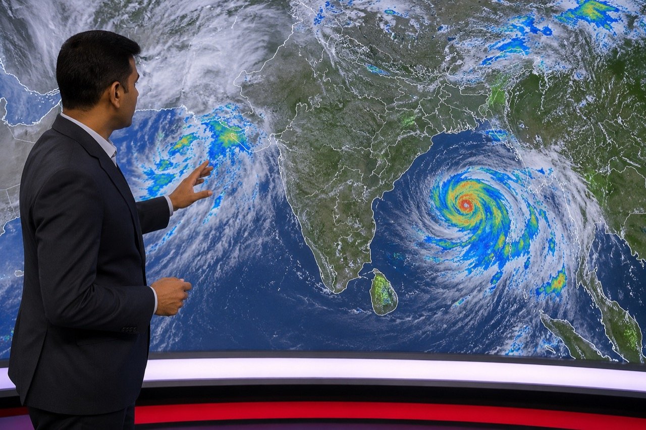
A low-pressure system over the Bay of Bengal has pushed the monsoon back into an active phase, bringing steady heavy rain to Kerala, coastal Karnataka and Maharashtra, and putting Mumbai and Pune on preparedness watch.
Bishnoi Gang Suspects Injured in Haryana Encounter as Police Tighten Net
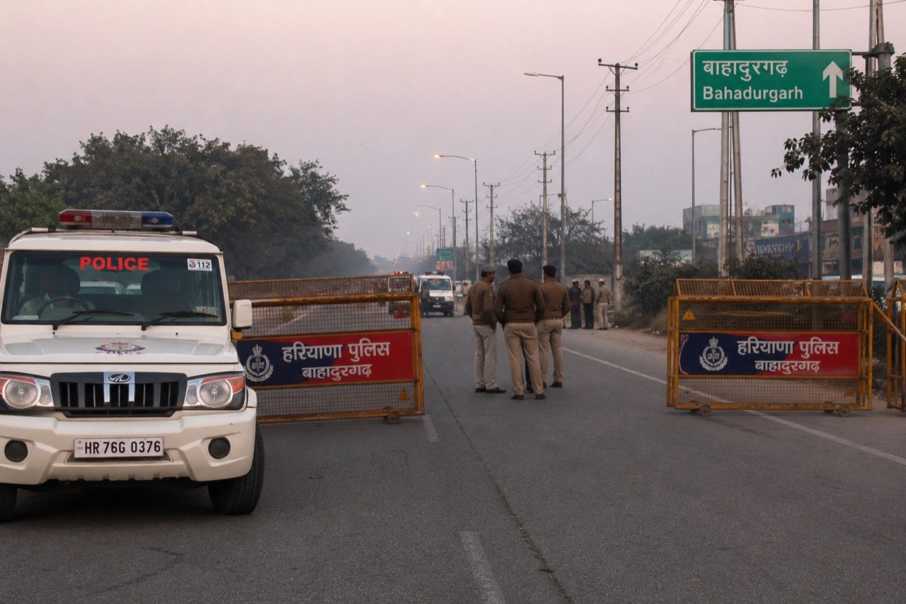
A joint Haryana-Delhi Police operation in Bahadurgarh left two suspected Lawrence Bishnoi gang members injured, spotlighting the multi-state coordination now central to India's fight against organised crime networks.